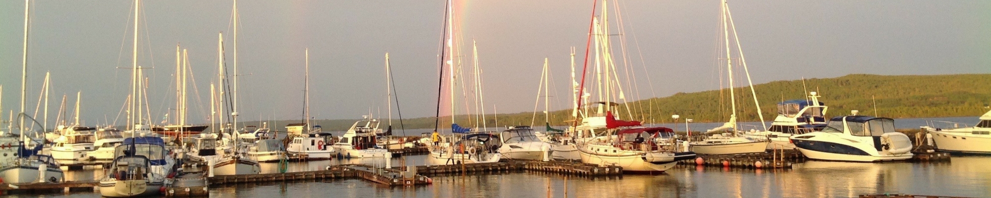
The Lewisporte Yacht Club (LYC) is located in the Town of Lewisporte at the bottom of Burnt Bay within the larger Notre Dame Bay on the North-Central coast of the island of Newfoundland. Co-ordinates are:
GPS Coordinates:
N 49 degrees, 14 minutes, 37.83 seconds
W 55 degrees, 03 minutes, 19.86 seconds
If you do not have the good fortune of travelling to our club by boat you can otherwise visit us:
By Air:
From St. John’s International Airport take the Trans-Canada Highway (TCH) West to Highway 340 to Lewisporte – 396 km.
From Gander International Airport take Trans-Canada Highway West to Highway 340 to Lewisporte – 62 km.
From Deer Lake airport take TCH East to Highway 340 to Lewisporte – 277 km.
All of the above airports have connections to Halifax, Toronto and other major Canadian centres.
By Road:
A ferry service operated by Marine Atlantic from North Sydney, Nova Scotia connects our island to the Canadian mainland. A year-round service is maintained to Porte-aux-Basques (take TCH East to Highway 340 to Lewisporte – 396 km.) and a summer service is offered to Argentia ( take Highway 100 to TCH West to Highway 340 to Lewisporte – 351 km.)
**********
Our Cruising Ground
For a comprehensive insight into our cruising grounds treat yourself to a copy of the “Cruising Guide to Notre Dame Bay”. It’s available (paper copies only) from:
Lewisporte Marine Sales and Service: 709-535-6666
Town of Lewisporte: 709-535-2737
Nautical Mind Book Store (Toronto): 800-463-9951 / 416-203-1163
Blue Water Books and Charts (USA): 800-942-2583